Alaska earthquake of magnitude 6.3: Details of the tremor and the truth about the tsunami
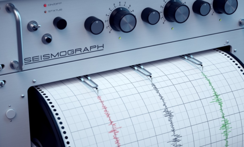
The U.S. Geological Survey (USGS) announced on Monday that a powerful earthquake measuring 6.3 on the Richter scale struck an area near the coast of Alaska, prompting close monitoring by global seismic monitoring centers.
Earthquake details and preliminary data
According to data released by the agency, the earthquake occurred early this morning, with its epicenter located at a very shallow depth of only about one kilometer (0.6 miles). Shallow earthquakes are generally more impactful and felt on the surface than deep earthquakes, but the earthquake's location and its distance from densely populated areas play a crucial role in the extent of potential damage.
The authorities' stance on the tsunami warnings
Immediately following the earthquake, authorities quickly assessed the marine hazards. The National Tsunami Warning Center confirmed that no tsunami warning was issued for the west coasts of the United States or Canada. This announcement was intended to reassure coastal residents who are typically apprehensive about the consequences of undersea earthquakes.
Alaska and the Ring of Fire: An Important Geological Context
Alaska is one of the most seismically active regions in the world, located within the Pacific Ring of Fire. This region is a long arc of volcanoes and oceanic trenches that define the boundaries of tectonic plates, where the Pacific Plate meets the North American Plate.
Because of its complex geographic and geological location, Alaska experiences thousands of earthquakes annually, ranging from minor tremors imperceptible to major, potentially devastating earthquakes. The Pacific Plate slides beneath the North American Plate at a rate of a few centimeters per year, causing a buildup of pressure that is suddenly released in the form of earthquakes.
History of seismic activity
Historically, Alaska has experienced some of the most powerful earthquakes in recorded history, most notably the 1964 Great Alaska Earthquake, which measured 9.2 on the Richter scale and was the second strongest earthquake ever recorded globally. This long history has kept the state's infrastructure and emergency systems constantly on alert and evolving to respond to such natural disasters.
The U.S. Geological Survey continues to closely monitor the situation for any possible aftershocks that may follow the main earthquake, which is common in such geological phenomena.