Saudi Arabia is bracing for a distinctly wintry weather system characterized by sharp fluctuations. The National Center for Meteorology has warned of a double-edged storm combining a significant drop in temperatures with strong surface winds that will stir up dust and sand. This weather system will begin tomorrow, Tuesday, January 20, and continue until Thursday, January 22, with official warnings of reduced horizontal visibility and frost formation in the northern regions.
Details of the cold wave and low temperatures
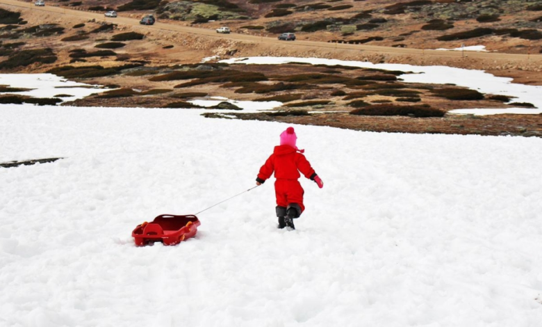
According to reports issued by the National Center for Meteorology, the cold wave will begin its direct and strong impact, imposing a severe cold climate on the regions of Tabuk, Al-Jawf, the Northern Borders, Hail, and northern Madinah. Temperatures in these areas are expected to drop significantly, with minimum temperatures plummeting to low levels ranging from 2 degrees Celsius above zero to 2 degrees below zero, indicating the formation of frost that necessitates taking necessary precautions, especially for farmers and drivers during the early morning hours.
The cold air mass will not only affect the north, but its reach will gradually expand during Wednesday and Thursday, moving towards the Qassim region and covering the northern parts of the Eastern Province and Riyadh, bringing bitterly cold weather to the central and eastern parts of the Kingdom. Forecasts indicate that minimum temperatures in these areas will range between 1 and 4 degrees Celsius.
Dust storm paths and wind impact
In parallel with the temperature drop, weather maps have detected intense surface wind activity that is stirring up dust and sand. This activity will begin on Tuesday, concentrated in the Al-Jawf and Northern Borders regions. Dust storms will then spread and intensify from Tuesday evening through Wednesday, covering a wide geographical area including the Hail, Qassim, Riyadh, and Eastern regions, reaching as far south as Najran. The active winds will also continue to move into the eastern parts of the Asir and Al-Baha regions, and their effects will extend to the Makkah and Madinah regions, including their coastal areas.
Climatic context and the impact of the Siberian High
This polar wave is occurring within a normal and typical climatic context for January, which marks the peak of winter in the Arabian Peninsula. At this time of year, the Kingdom is often affected by the expansion of the Siberian High, which pushes cold, dry air masses from the north and northeast. These air masses are primarily responsible for frost and sub-zero temperatures in the northern and central regions, and are a fundamental part of the region's winter weather cycle.
Public safety recommendations
Due to these rapidly changing weather conditions, the National Center of Meteorology and relevant authorities urge citizens and residents to follow real-time weather updates through official channels. They also advise exercising extreme caution while driving on highways, which may experience zero or reduced visibility due to dust, and wearing heavy winter clothing to avoid catching a cold. Additionally, they recommend protecting crops and livestock in areas prone to frost.