Weather forecast in Saudi Arabia: Thunderstorms and flash floods expected today
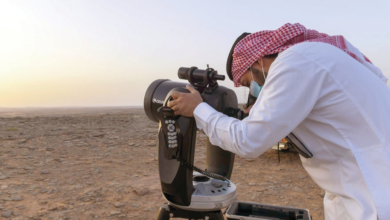
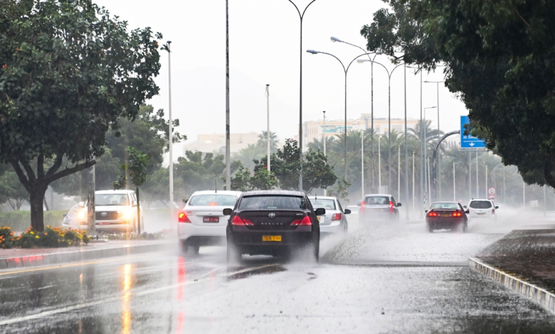
The National Center for Meteorology issued its daily weather report for Friday, indicating unstable weather conditions affecting large areas of the Kingdom. The center warned of the possibility of moderate to heavy thunderstorms, accompanied by hail and strong winds.
Weather details and affected areas
According to the meteorological statement, there is a chance of thunderstorms that could lead to flash floods in valleys and ravines. This weather pattern will affect parts of the Madinah, Qassim, Hail, Tabuk, Al-Jawf, and Northern Borders , as well as extending to the northern parts of the Eastern Province . Meanwhile, light rain is expected in parts of the highlands in the western and southwestern regions of the Kingdom.
In a related context, the impact of active winds that stir up dust and sand continues, which may cause near-zero horizontal visibility on highways and open areas in the aforementioned parts, in addition to parts of the Riyadh region.
Climate context and the importance of warnings
These weather fluctuations are part of the typical climatic patterns the Kingdom experiences during the transitional periods between seasons, characterized by the activity of low-pressure systems that bring cumulonimbus clouds and thunderstorms. These forecasts are of paramount importance due to their direct impact on transportation and travel between cities, as well as their effect on desert and grazing areas.
Following the reports of the National Center for Meteorology is an urgent necessity to ensure the safety of citizens and residents, as these early warnings contribute to raising the readiness of concerned authorities such as civil defense and municipalities to deal with potential water accumulations or emergencies resulting from flash floods, especially in low-lying areas and valleys.
State of the Red Sea and the Arabian Gulf
Regarding the maritime situation, the report provided the following details:
- The Red Sea: Surface winds are expected to range from 15 to 40 km/h, reaching up to 60 km/h in the northern part with the formation of thunderstorms. Wave heights will range from half a meter to one and a half meters, potentially exceeding two and a half meters in areas affected by thunderstorms, creating rough sea conditions and requiring caution for fishermen and other seafarers.
- Arabian Gulf: North to northwesterly winds will prevail, gradually shifting to southeasterly, reaching speeds of up to 50 km/h with thunderstorms in the northern part. Wave heights are expected to exceed 2.5 meters if rain-bearing thunderstorms develop.
In such weather conditions, experts always call for caution and vigilance, urging people to stay away from valleys and flood channels, and to adhere to the instructions of the competent authorities to ensure public safety.