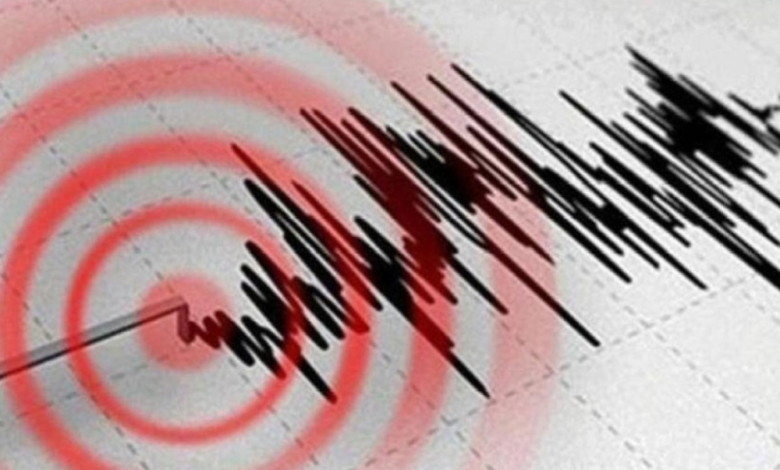
Papua New Guinea experienced a geological event today: a 5.3 magnitude earthquake, according to the Global Seismic Network. This event comes at a time when the world is on high alert for seismic activity in tectonically active regions.
Details of the earthquake and its location
The U.S. Geological Survey (USGS), the global authority on seismic activity, confirmed that the epicenter of the earthquake was precisely located 157 kilometers from the city of Kokopo. The tremor occurred at a depth of 10 kilometers below the Earth's surface, a depth typically classified as shallow earthquakes, which are often felt more clearly by residents than deeper earthquakes.
Despite the strength of the earthquake and its relative proximity to coastal areas, no official reports of casualties or material damage to infrastructure have been received so far, and local authorities have not issued any immediate warnings about the possibility of tsunamis, which is the usual procedure in such cases in island areas.
Papua New Guinea and the "Ring of Fire"
This earthquake is not an uncommon event in the region, as Papua New Guinea lies at the heart of what is geologically known as the Pacific Ring of Fire. This geographical area, roughly 40,000 kilometers long and horseshoe-shaped, is characterized by extremely intense seismic and volcanic activity.
Scientific data indicates that this region is home to approximately 90% of the world's active volcanoes and experiences about 81% of the largest earthquakes ever recorded. This is due to the complex tectonic nature of the region, where several major tectonic plates meet and collide, most notably the Australian Plate and the Pacific Plate, generating immense pressure that is released in the form of earthquakes.
Increased seismic activity and its types
This earthquake coincides with reports indicating an increase in seismic activity since the beginning of 2025, with daily tremors of varying intensity being recorded in different parts of Asia and South America. To understand the nature of these phenomena, scientists classify earthquakes into three main types:
- Tectonic earthquakes: These are the most common and occur as a result of the sliding and friction of tectonic plates against each other along geological faults.
- Volcanic earthquakes: These are directly related to the activity of magma underground, where its movement generates vibrations that precede or accompany volcanic eruptions.
- Induced earthquakes: These are tremors resulting from human intervention in nature, such as deep drilling operations, the construction of large dams, or the extraction of oil and gas, which affects the stability of the Earth's crust.
Experts confirm that major earthquakes (of magnitude 7 or higher) have maintained their historical rates, but technological development and the speed of information transfer have contributed to increasing global awareness of every earthquake that occurs, no matter how remote its location.