Mount Semeru volcano in Indonesia has erupted 7 times: details and warnings
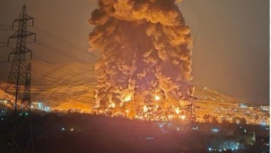
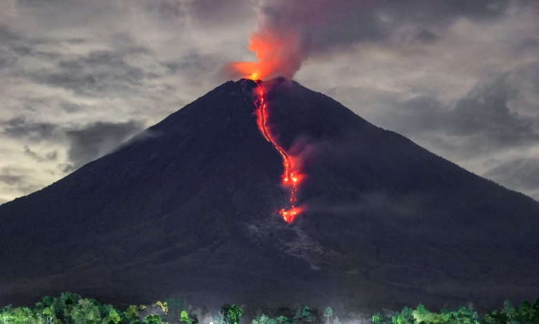
East Java, Indonesia, experienced intense and alarming volcanic activity this morning, as Mount Semeru , located on the border between Lomajang and Malang regencies, erupted seven times in quick succession within a short period of less than three hours. This rapid activity resulted in the release of dense columns of volcanic ash ranging from 300 to 800 meters above the mountain's summit, prompting authorities to closely monitor the situation.
According to the Indonesian news agency Antara, the Mount Semeru monitoring center reported that the series of eruptions began very early, with the first eruption at 4:58 a.m., sending a 500-meter-high column of ash that drifted northeast. The volcano did not remain quiet for long, as a second eruption at 6:10 a.m., the tallest yet, with the ash column reaching 700 meters. A third eruption at 6:56 a.m., with gray and white emissions reaching a height of 300 meters.
Geological context and potential risks
This volcanic activity is part of Indonesia's complex geological makeup, as it lies within Ring of Fire . This region is home to more than 120 active volcanoes and is characterized by high seismic and volcanic activity due to the convergence of continental tectonic plates. Mount Semeru, known locally as Mahamero (Great Mountain), is the highest peak on the island of Java, reaching 3,676 meters above sea level, and is one of the most active and dangerous volcanoes in the Indonesian archipelago.
A history of revolutions and safety measures
Mount Semeru has a long history of volcanic eruptions that have directly impacted local populations and the surrounding environment. The devastating 2021 eruption, which caused significant loss of life and property and displaced thousands, remains a particularly vivid memory. Given this history, Indonesian authorities, represented by the Center for Volcanology and Geological Hazard Mitigation (PVMBG), pay close attention to any seismic or volcanic activity emanating from the mountain.
Given this renewed activity, authorities typically issue strict warnings to residents and tourists to stay a safe distance (often a 5-kilometer radius) from the volcano's crater and to avoid activities in the southeastern sector along the lava flow zone. Warnings are also constantly issued about the risk of "lahars," or cool lava flows, which can form during heavy rainfall and rush down rivers and valleys from the mountain's summit, posing a threat to low-lying residential areas.