Saudi Arabia weather: Thunderstorms and hail expected in 11 regions on Saturday
Weather forecast for Saudi Arabia for Saturday
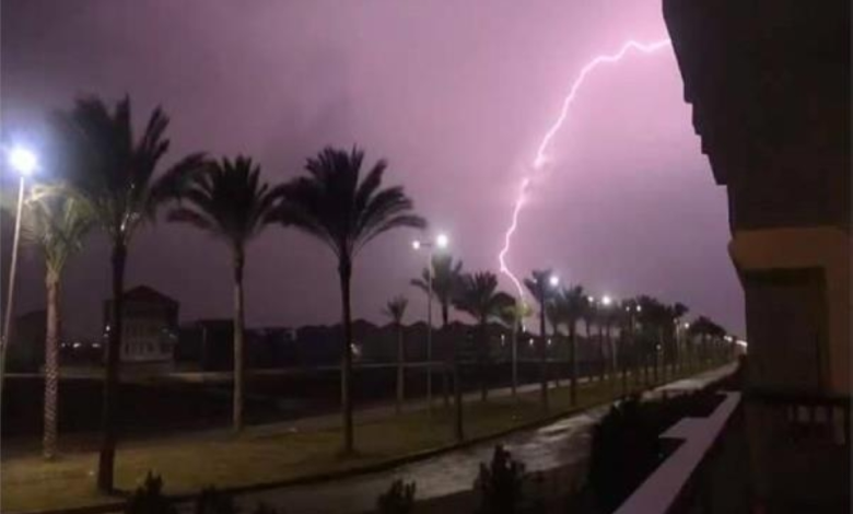
The National Center for Meteorology in Saudi Arabia issued its daily weather forecast for Saturday, warning of continued atmospheric instability across most of the Kingdom. The report indicated that there remains a chance of moderate to heavy thunderstorms, which could lead to flash flooding in valleys and low-lying areas. These storms will be accompanied by hail and strong winds that will stir up dust and reduce horizontal visibility in 11 regions.
The climatic context of current weather fluctuations
These weather fluctuations occur during a transitional period that the Arabian Peninsula in general, and the Kingdom of Saudi Arabia in particular, experience during the spring season. This period is known locally by names such as "Al-Sarayat" or "Al-Marouhiyat," and is characterized by the collision of different air masses. Warm, humid air masses from the south meet cold air masses from the north, creating ideal conditions for the formation of cumulonimbus clouds and sudden, heavy rainfall. The Kingdom's diverse topography, from the towering southwestern highlands to the vast deserts of the central and northern regions, contributes to these weather phenomena and their varying intensity from one area to another.
Affected areas and expected impacts
According to the meteorological statement, the affected areas include the Eastern Province, the Northern Borders, Al-Jawf, Hail, Al-Qassim, Riyadh, Madinah, Makkah, Al-Baha, Asir, and Jazan. This weather system is expected to have multiple impacts. On the one hand, these rains are a vital source for replenishing groundwater reservoirs and supporting the agricultural sector, especially in regions like Al-Qassim and Hail. On the other hand, flash floods and hail pose a threat to lives and property. The General Directorate of Civil Defense has issued warnings to citizens and residents to take precautions and stay away from valleys and floodplains. Active winds stirring up dust will also affect those with respiratory conditions and reduce visibility on highways.
Sea conditions and navigation
The warnings were not limited to land, but also included the waterways overlooking the Kingdom, which are vital arteries for international navigation.
Red Sea
- Surface winds: Westerly to northwesterly in the northern and central parts, and southeasterly to southwesterly in the southern part, with speeds ranging between 13 and 25 km/h.
- Wave height: from half a meter to one meter.
- Sea state: Light waves.
Arabian Gulf
- Surface winds: Northwesterly to northerly at a speed of 16-32 km/h, and may reach speeds of more than 50 km/h with the formation of rain-bearing thunderclouds.
- Wave height: from half a meter to one and a half meters, and may reach more than two meters with thunderstorms.
- Sea conditions: Light to moderate waves, and may be rough with the formation of thunderclouds, which calls for caution by fishermen and sea-goers.