In a strategic move aimed at reshaping the urban landscape of the Holy City of Mecca, the Royal Commission for Mecca and the Holy Sites announced the launch of a draft “Technical Standards Guide for Land Subdivisions.” This comprehensive guide aims to provide a modern and sustainable regulatory framework for land subdivision and design, setting a standard timeframe of no more than 60 days for the approval of private residential plans. This reflects a serious commitment to accelerating development and streamlining procedures for real estate developers.
Historical context and the importance of urban planning in Mecca
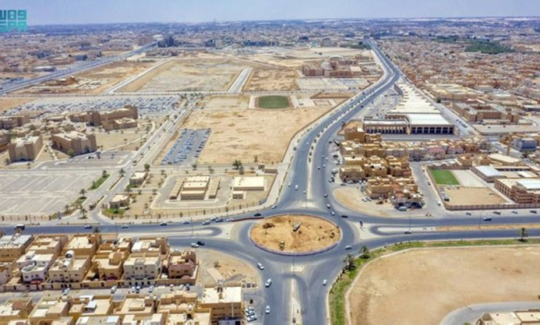
This initiative comes at a crucial historical and geographical juncture. The city of Mecca is characterized by its complex topography, a blend of towering mountains and deep valleys, making urban planning a continuous and enduring challenge. With the launch of Saudi Vision 2030, the urgent need to develop infrastructure to accommodate the anticipated increase in the number of pilgrims performing Hajj and Umrah, as well as to meet the needs of local population growth, has become increasingly apparent. Therefore, this guide serves as a comprehensive regulatory framework for improving quality of life and enhancing infrastructure efficiency, in line with the city's master plan and sustainable development goals.
The official document clarified that the geographical scope of applying these standards includes all development projects, new plans and additions within the direct supervisory scope of the Royal Commission, with an explicit exception for the “Central Area” and the “Holy Sites Area” due to their special religious nature and independent regulations.
Precise standards for land areas and service deductions
On a technical level, the guide establishes precise standards tailored to various land sizes, from small plots under 10,000 square meters to large holdings exceeding two million square meters, specifying the required package of public services for each category. To ensure a comprehensive and healthy urban environment, the Authority mandates that developers allocate 33.33% of the total planned area as free, standardized planning space for streets, parks, and public parking. An additional 1% is allocated to the Authority as a strategic reserve for future urban development projects.
Innovative planning approaches to address geographical challenges
To address topographical challenges, the guide categorized urban development areas into homogeneous groups, including older urban areas (pre-1973), flatlands, mountainous areas, valleys, and logistics and industrial zones. The guide adopted four basic planning patterns suitable for the nature of the Holy City: the "organic pattern," adapted to the mountains and valleys; the "cluster pattern"; the "grid pattern"; and the "strip pattern," designated for mixed-use developments along main axes. The standards also specified that residential street widths should start at a minimum of 15 meters in low-density areas and reach up to 40 meters in areas with public services and hospitals to ensure smooth traffic flow and pedestrian safety.
Governance of procedures and detailed accreditation studies
In the interest of governance and transparency, the guidelines require developers to submit in-depth, detailed studies prior to approval. These studies must include topographical analysis, floodplain analysis, and environmental impact assessments, along with at least three planning alternatives for each project to support sustainable design decisions. To expedite the process, three updated pathways for plan approval within 60 days have been introduced, progressing from initial approval to phased release and final approval before implementation.
The draft also strongly warned against any attempts to subdivide approved land parcels, emphasizing the necessity of including the indivisibility clause as a mandatory requirement in the final plan to maintain the prescribed population densities. The Authority concluded its document by affirming that the guide will be continuously updated every three years to keep pace with rapid urban development, thus ensuring the sustainability of its positive impact locally and regionally, and presenting an urban model befitting Makkah's global standing.