Two earthquakes strike Afghanistan, measuring 5.3 and 4.5 on the Richter scale
Two earthquakes strike northeastern Afghanistan: details of the tremors and their effects
The U.S. Geological Survey reported two consecutive earthquakes in northeastern Afghanistan, prompting concern and apprehension among residents. These tremors highlight the ongoing seismic activity in this geologically complex, mountainous region, which has a long history of similar natural disasters.
Details of the two earthquakes in Badakhshan province
According to official reports from the U.S. Geological Survey, the first earthquake struck with a magnitude of 5.3 on the Richter scale. Its epicenter was located at a considerable depth of approximately 199 kilometers, about 27 kilometers south of the town of Jurm in the mountainous province of Badakhshan. Shortly afterward, a second aftershock, or earthquake, measuring 4.5 on the Richter scale, struck an area approximately 34 kilometers from Jurm, at a depth of about 186 kilometers.
Despite the strength of the two tremors, their considerable depth helped to mitigate the immediate surface impact. So far, there have been no immediate reports of injuries or significant damage to infrastructure, which is a positive sign given the nature of the region.
Impact of the tremors on the capital Kabul and surrounding areas
Residents of the Afghan capital, Kabul, reported feeling tremors in various parts of the city. While the tremors caused some temporary concern, no widespread panic or disruption to daily life was reported. Deep earthquakes in this region typically have a wide geographical reach, sometimes even being felt in neighboring countries such as Pakistan and Tajikistan.
Geological context: Why is Afghanistan prone to earthquakes?
Afghanistan is one of the most seismically active countries in the world, primarily due to its sensitive geographical location. The country, particularly its northeastern regions such as Badakhshan province and the Hindu Kush mountain range, lies along major tectonic fault lines. This area represents a point of convergence and constant collision between the Indian and Eurasian tectonic plates, generating immense pressure that manifests as frequent earthquakes of varying intensity.
Historical background and humanitarian challenges
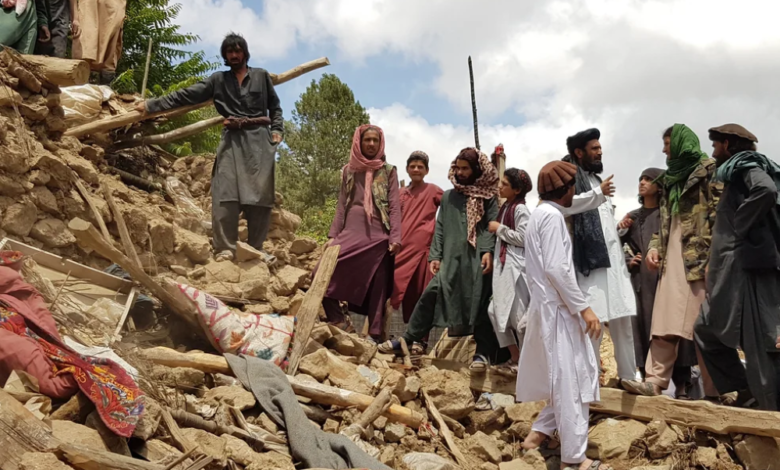
Historically, Afghanistan has suffered devastating earthquakes that have caused immense loss of life and property. In late 2023, a series of powerful earthquakes struck Herat province in the west of the country, killing thousands and destroying entire villages. Prior to that, in the summer of 2022, a devastating earthquake struck Paktika province, leaving more than a thousand dead.
The real danger of earthquakes in Afghanistan lies not only in their intensity but also in the fragility of the infrastructure. The majority of homes in rural and mountainous areas are built of mud and unbaked bricks, making them prone to rapid collapse even from moderate tremors. Furthermore, the rugged mountainous terrain in regions like Badakhshan makes rescue operations and the delivery of humanitarian aid a formidable logistical challenge, especially given the country's complex economic situation.
The continuation of these natural phenomena underscores the urgent need to strengthen early warning systems, improve building standards, and provide ongoing international support to enhance the preparedness of local communities in the face of future natural disasters.