Saudi Arabia's weather on Sunday: Dust storms and thunderstorms in 6 regions

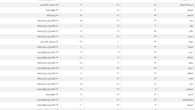
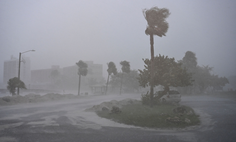
The National Center for Meteorology in Saudi Arabia issued its daily weather forecast for Sunday, indicating continued weather fluctuations across large parts of the country. The center warned of strong surface winds that could stir up dust and sand, potentially reaching the level of dust storms, and also predicted thunderstorms in six different regions, urging caution.
Details of the expected weather conditions
According to the center's statement, the Tabuk, Al-Jawf, and Northern Borders regions are expected to be affected by strong, high-speed winds, leading to a dust storm that could cause near-zero horizontal visibility. The center did not rule out the possibility of light rain in scattered areas of these regions. Meanwhile, moderate to heavy thunderstorms, accompanied by hail and strong winds, are expected to continue in parts of the Najran, Jazan, and Asir regions, particularly in the mountainous areas.
The climatic context of weather fluctuations in the Kingdom
These weather fluctuations are part of the typical climatic pattern experienced by Saudi Arabia during seasonal transitions. The Kingdom's vast geography and diverse topography, ranging from coastlines and expansive deserts to high mountain ranges, make it a stage for varying weather phenomena. While the northern regions are affected by air masses from the north, causing wind activity and dust, the southwestern highlands are influenced by the extension of humid monsoon winds from the Arabian Sea. This creates conditions conducive to the formation of cumulonimbus clouds and heavy rainfall, which can lead to flash floods in valleys.
Importance and expected effects
These weather phenomena have a direct impact on daily life and public safety. Dust storms in the northern regions significantly affect land and air transportation due to reduced visibility, and they also pose a risk to those with respiratory illnesses and asthma. The Civil Defense Directorate urges citizens and residents in areas affected by thunderstorms, particularly in the south, to exercise caution, stay away from valleys and floodplains, and avoid attempting to cross them. These warnings necessitate raising the level of preparedness among relevant authorities to deal with any emergencies that may arise from these weather conditions.
The situation in the Red and Arabian Seas
The weather report detailed the maritime navigation situation as follows:
Red Sea
- Surface winds: Southeasterly to southwesterly, turning northerly to northwesterly at night at a speed of 12-35 km/h in the northern part, and northwesterly to southwesterly at a speed of 10-25 km/h in the central and southern parts.
- Wave height: from half a meter to one and a half meters on the northern part, and from half a meter to one meter on the central and southern parts.
- Sea state: Light to moderate waves in the northern part, and light waves in the central and southern parts.
Arabian Gulf
- Surface winds: Northeasterly to southeasterly at a speed of 10-28 km/h in the northern part, and northwesterly to westerly at a speed of 12-32 km/h in the central and southern parts.
- Wave height: from half a meter to one meter on the northern part, and from half a meter to one and a half meters on the central and southern parts.
- Sea state: Light waves in the northern part, and light to moderate waves in the central and southern parts.