Al-Ahli Club: Zero points in 20 rounds and close to relegation to the third division
In a rare and unprecedented occurrence in Saudi football, the first team of Ohod Club has set an unparalleled negative record since the start of the current season until the end of the twentieth round of the Second Division League. The team has completely failed to secure a single point, whether through a win or even a draw, in the twenty matches played in the competition, leaving them at the bottom of the standings with zero points.
The team's ordeal began from the very first whistle of the season, starting with a crushing 3-0 defeat against Al-Naeiriyah, followed by a similar loss by the same scoreline against Al-Ghutah in the second round. The bleeding of points and the string of consecutive defeats continued unabated until the end of the twentieth round, which concluded last Saturday. Thus, the team finished two-thirds of the season with a disastrous record of zero points and a very poor scoring record of only seven goals, while conceding a barrage of 64 goals, averaging more than three goals conceded per match.
The implications of the negative number and the team's future
This disastrous performance isn't just a temporary setback; it points to a complete technical and administrative collapse within the team, making them the undisputed prime candidate for relegation to the third division. Failing to secure a single point in the league puts the club in a very precarious position with its fans and supporters, especially since football is a game of numbers, and those numbers are currently working against the team in every aspect.
Historical context and importance of the club
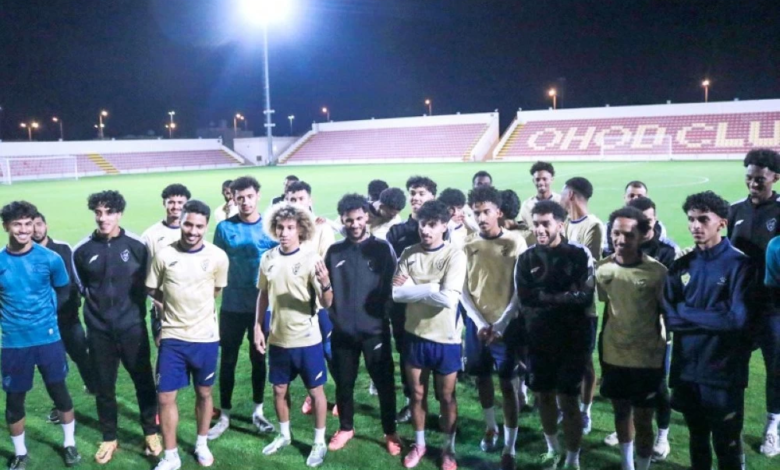
Al-Ahli Club, based in Medina, is considered one of the oldest and most prestigious clubs in Saudi Arabia. The club has long been known as "The Mountain" and has a rich history of success in the Saudi Professional League and the First Division. Seeing a team with such a name and history struggling in the Second Division and unable to compete with its rivals is a shock to the Medina sports community.
Implications of the expected decline
A potential relegation to the third division wouldn't just be a change in the league; it would have serious economic and technical repercussions. Revenues would dwindle, and the spotlight would fade, making the task of returning to the top tier even more difficult and complex. Current figures suggest the team needs a footballing miracle to avoid this inevitable fate, something that seems impossible both theoretically and practically given the current circumstances.